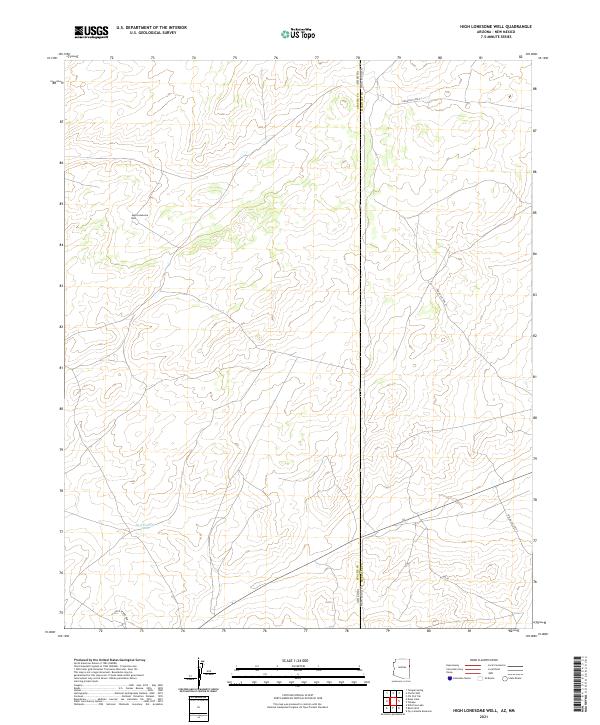
2021 Map of High Lonesome Well
USGS Topo · Published 2021About this map
The Apache County landscape along the Arizona and New Mexico border remains defined by its sparse water resources and vast section lines. This 2021 topographic survey centers on High Lonesome Well, a critical landmark in a region where the high-altitude terrain is carved by unnamed washes and intermittent drainages. The map reveals the intricate network of range roads and cattle guards that serve the local ranching economy, connecting various townships across the state line. Unlike more developed areas, the spatial organization here is dictated by the Public Land Survey System and the fundamental need for water, as evidenced by the namesake High Lonesome Well situated on the western side of the quadrangle.
Find a feature on this map
1 named feature on this map. Tap any name to fly to it.
Don’t see what you’re looking for? This feature index may not catch every label — zoom into the map to look around manually.
Map Details
Editions of this 2021 High Lonesome Well Map
This is the sole edition of this map. No revisions or reprints were ever made.
Other maps of this area

1886 · St Johns
USGS Topo · 1:250,000

1886 · Wingate
USGS Topo · 1:250,000

1886 · Fort Defiance
USGS Topo · 1:250,000

1892 · Fort Defiance
USGS Topo · 1:250,000

1892 · St Johns
USGS Topo · 1:250,000

1892 · Wingate
USGS Topo · 1:250,000

1954 · Saint Johns
USGS Topo · 1:250,000

1954 · Gallup
USGS Topo · 1:250,000

1957 · Saint Johns
USGS Topo · 1:250,000

1958 · Gallup
USGS Topo · 1:250,000