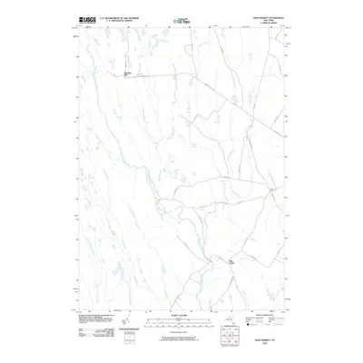
2010 Map of High Market
USGS Topo · Published 2010About this map
Michigan Mills and Fish Creek anchor this rural landscape in Lewis County, where the hydrology of the Tug Hill Plateau dictates the settlement pattern. The area is defined by a complex network of waterways, including the East Branch Fish Creek and the East Fork Salmon River, which carve through the terrain. Small hamlets like Byron Corners are linked by a grid of local roads such as Michigan Mills Rd and Kotary Rd.
Find a feature on this map
37 named features on this map. Tap any name to fly to it.
Don’t see what you’re looking for? This feature index may not catch every label — zoom into the map to look around manually.
Map Details
Editions of this 2010 High Market Map
This is the sole edition of this map. No revisions or reprints were ever made.
Other maps of this area

1904 · Boonville
USGS Topo · 1:62,500

1905 · Port Leyden
USGS Topo · 1:62,500

1905 · Taberg
USGS Topo · 1:62,500

1906 · Highmarket
USGS Topo · 1:62,500

1907 · Port Leyden
USGS Topo · 1:62,500

1940 · Port Leyden
USGS Topo · 1:62,500

1943 · East Florence
USGS Topo · 1:31,680
1943 · Sears Pond
USGS Topo · 1:31,680
1943 · North Osceola
USGS Topo · 1:24,000

1943 · High Market
USGS Topo · 1:24,000