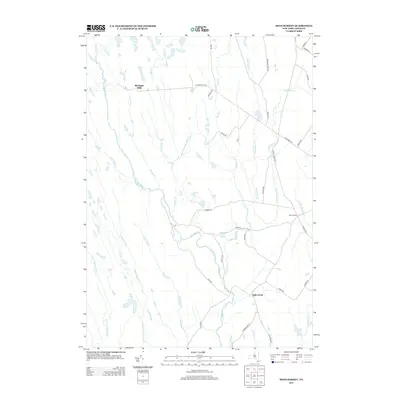
2013 Map of High Market
USGS Topo · Published 2013About this map
Michigan Mills and Byron Corners anchor this upland landscape in Lewis County, where a dense network of headwaters feeds major regional drainage systems. The terrain is defined by the diverging paths of the E Fork Salmon River flowing west and the E Br Fish Cr moving south toward the settlement of Fish Creek. This hydrology creates a complex web of small streams including Pringle Cr, Dirreen Cr, and Roaring Brook that cross a largely rural expanse.
Find a feature on this map
44 named features on this map. Tap any name to fly to it.
Don’t see what you’re looking for? This feature index may not catch every label — zoom into the map to look around manually.
Map Details
Editions of this 2013 High Market Map
This is the sole edition of this map. No revisions or reprints were ever made.
Other maps of this area

1904 · Boonville
USGS Topo · 1:62,500

1905 · Port Leyden
USGS Topo · 1:62,500

1905 · Taberg
USGS Topo · 1:62,500

1906 · Highmarket
USGS Topo · 1:62,500

1907 · Port Leyden
USGS Topo · 1:62,500

1940 · Port Leyden
USGS Topo · 1:62,500

1943 · East Florence
USGS Topo · 1:31,680
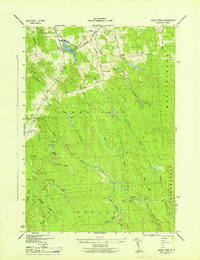
1943 · Sears Pond
USGS Topo · 1:31,680
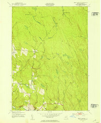
1943 · North Osceola
USGS Topo · 1:24,000

1943 · High Market
USGS Topo · 1:24,000