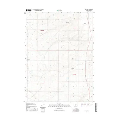
2015 Map of High Point
USGS Topo · Published 2015About this map
The Continental Divide traverses this high-altitude landscape in Carbon County, Wyoming, serving as a primary hydrologic separator across the high desert terrain. The topography is defined by significant drainage systems and named landmarks, including the prominent summit of High Point and the distinct formation of Sugar Loaf. Water sources in this arid environment are marked by features such as Coal Bank Spring and the seasonal paths of Coal Bank Wash and Coal Gulch. These features, along with names like Horse Pasture Draw and Standard Draw, reflect a history of land use centered on livestock grazing and resource extraction. The map provides a detailed view of the remote township boundaries and the path of Highway 789, which remains a critical north-south corridor through this section of the Great Divide Basin.
Find a feature on this map
13 named features on this map. Tap any name to fly to it.
Don’t see what you’re looking for? This feature index may not catch every label — zoom into the map to look around manually.
Map Details
Editions of this 2015 High Point Map
This is the sole edition of this map. No revisions or reprints were ever made.
Other maps of this area

1954 · Rawlins
USGS Topo · 1:250,000
1957 · Doty Mountain
USGS Topo · 1:62,500
1958 · Rawlins
USGS Topo · 1:250,000
1962 · Rawlins
USGS Topo · 1:250,000
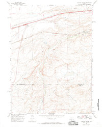
1966 · Creston Junction
USGS Topo · 1:24,000
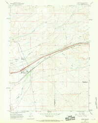
1966 · Wamsutter
USGS Topo · 1:24,000
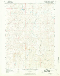
1966 · Seaverson Reservoir
USGS Topo · 1:24,000
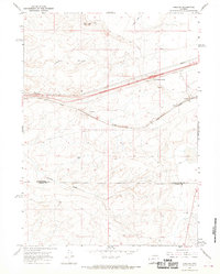
1966 · Creston
USGS Topo · 1:24,000
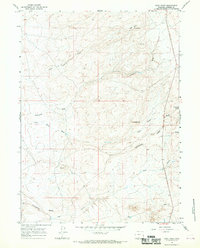
1966 · High Point
USGS Topo · 1:24,000
1966 · Eightmile Lake
USGS Topo · 1:24,000