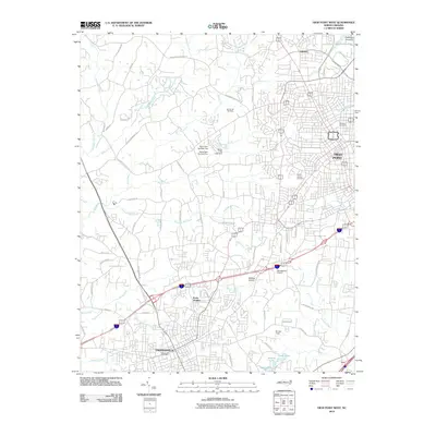
2010 Map of High Point West
USGS Topo · Published 2010About this map
Thomasville and the western reaches of High Point anchor this landscape, illustrating the suburban and industrial expansion of the North Carolina Piedmont in the early 21st century. The map reveals a dense network of residential subdivisions and commercial corridors, punctuated by landmarks like the Thomasville Post Office and local aviation sites such as Mendenhall Airport and Midway Airport. Significant water features, including the sprawling Oak Hollow Lake in the northeast and several small reservoirs like Lower Lake, Middle Lake, and Upper Lake, suggest the importance of local water management and recreation for these growing communities.
Find a feature on this map
72 named features on this map. Tap any name to fly to it.
Don’t see what you’re looking for? This feature index may not catch every label — zoom into the map to look around manually.
Map Details
Editions of this 2010 High Point West Map
This is the sole edition of this map. No revisions or reprints were ever made.
Other maps of this area

1949 · Eller
USGS Topo · 1:24,000

1949 · High Point West
USGS Topo · 1:24,000

1950 · High Point East
USGS Topo · 1:24,000

1950 · Lexington East
USGS Topo · 1:24,000

1950 · Winston-Salem East
USGS Topo · 1:24,000

1951 · Winston-Salem East
USGS Topo · 1:24,000

1951 · Lexington East
USGS Topo · 1:24,000

1951 · High Point East
USGS Topo · 1:24,000

1951 · Guilford
USGS Topo · 1:24,000

1951 · Fair Grove
USGS Topo · 1:24,000