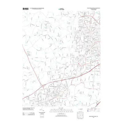
2013 Map of High Point West
USGS Topo · Published 2013About this map
Erwin Heights and the established neighborhoods of Oakview dominate this portion of Guilford County, where suburban expansion meets a network of established waterways. This landscape is defined by the drainage systems of Abbotts Cr and its tributaries, including Rich Fork, Payne Cr, and Kennedy Mill Cr. The map reveals the sophisticated water management of the area, featuring the significant Oak Hollow Lake in the north and a series of smaller reservoirs like Merry Hills Lake, Upper Lake, and Lower Lake to the south. These water bodies, along with the Uwharrie River, underscore the region's geographic transition from agricultural roots toward its modern identity. Local infrastructure is anchored by landmarks like Hasty School Rd and Prospect Church Rd, which trace the historical corridors of local commerce and community life.
Find a feature on this map
459 named features on this map. Tap any name to fly to it.
Don’t see what you’re looking for? This feature index may not catch every label — zoom into the map to look around manually.
Map Details
Editions of this 2013 High Point West Map
This is the sole edition of this map. No revisions or reprints were ever made.
Other maps of this area

1949 · Eller
USGS Topo · 1:24,000

1949 · High Point West
USGS Topo · 1:24,000

1950 · High Point East
USGS Topo · 1:24,000

1950 · Lexington East
USGS Topo · 1:24,000

1950 · Winston-Salem East
USGS Topo · 1:24,000

1951 · Winston-Salem East
USGS Topo · 1:24,000

1951 · Lexington East
USGS Topo · 1:24,000

1951 · High Point East
USGS Topo · 1:24,000

1951 · Guilford
USGS Topo · 1:24,000

1951 · Fair Grove
USGS Topo · 1:24,000