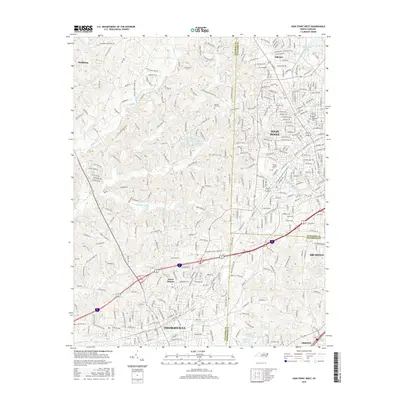
2016 Map of High Point West
USGS Topo · Published 2016About this map
Thomasville and the western reaches of High Point dominate this 2016 topographical landscape, where the Piedmont's shifting elevations meet a dense network of suburban and industrial development. The map details the complex drainage systems of the region, anchored by the meandering paths of Abbotts Creek and Rich Fork. These waterways historically shaped the settlement patterns that evolved into the modern urban corridor seen here. Small reservoirs like Davis Lake Number One and Merry Hills Lake dot the terrain between the growing residential neighborhoods of Erwin Heights and Oakview.
Find a feature on this map
50 named features on this map. Tap any name to fly to it.
Don’t see what you’re looking for? This feature index may not catch every label — zoom into the map to look around manually.
Map Details
Editions of this 2016 High Point West Map
This is the sole edition of this map. No revisions or reprints were ever made.
Other maps of this area

1949 · Eller
USGS Topo · 1:24,000

1949 · High Point West
USGS Topo · 1:24,000

1950 · High Point East
USGS Topo · 1:24,000

1950 · Lexington East
USGS Topo · 1:24,000

1950 · Winston-Salem East
USGS Topo · 1:24,000

1951 · Winston-Salem East
USGS Topo · 1:24,000

1951 · Lexington East
USGS Topo · 1:24,000

1951 · High Point East
USGS Topo · 1:24,000

1951 · Guilford
USGS Topo · 1:24,000

1951 · Fair Grove
USGS Topo · 1:24,000