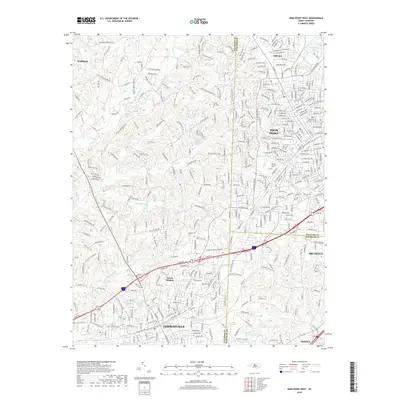
2019 Map of High Point West
USGS Topo · Published 2019About this map
The industrial and residential growth of the Piedmont region is captured in this survey of the corridors connecting Thomasville, High Point, and Archdale. In the southern portion of the map, the landscape is defined by the headwaters of the Uwharrie River and a series of reservoirs including Upper Lake, Middle Lake, and Lower Lake near Trinity. The northern extent shows the transition into suburban developments like Oakview and the recreational waters of Oak Hollow Lake.
Find a feature on this map
388 named features on this map. Tap any name to fly to it.
Don’t see what you’re looking for? This feature index may not catch every label — zoom into the map to look around manually.
Map Details
Editions of this 2019 High Point West Map
This is the sole edition of this map. No revisions or reprints were ever made.
Other maps of this area

1949 · Eller
USGS Topo · 1:24,000

1949 · High Point West
USGS Topo · 1:24,000

1950 · High Point East
USGS Topo · 1:24,000

1950 · Lexington East
USGS Topo · 1:24,000

1950 · Winston-Salem East
USGS Topo · 1:24,000

1951 · Winston-Salem East
USGS Topo · 1:24,000

1951 · Lexington East
USGS Topo · 1:24,000

1951 · High Point East
USGS Topo · 1:24,000

1951 · Guilford
USGS Topo · 1:24,000

1951 · Fair Grove
USGS Topo · 1:24,000