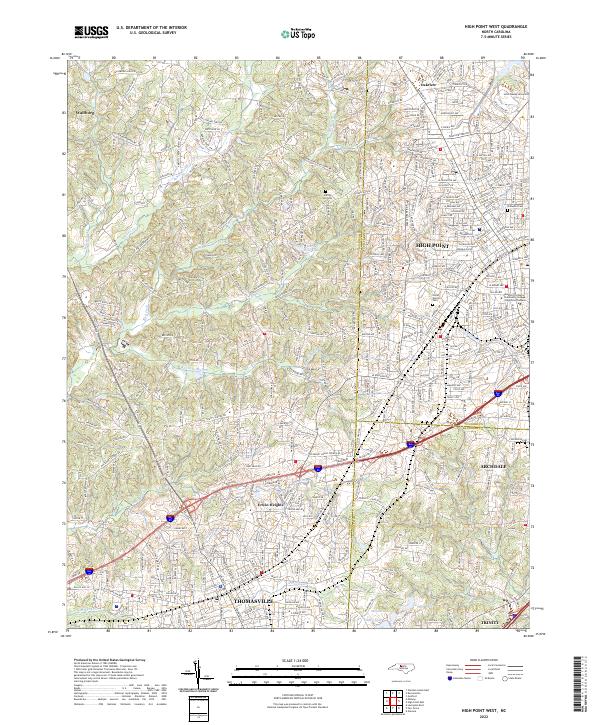
2022 Map of High Point West
USGS Topo · Published 2022About this map
The jurisdictional boundaries of Davidson, Guilford, and Randolph counties converge in this detailed mapping of the Piedmont's urban industrial corridor. The landscape is defined by the proximity of Thomasville and High Point, showing a dense network of residential streets and educational institutions such as John Wesley University and the Guilford Technical Community College High Point Campus.
Find a feature on this map
119 named features on this map. Tap any name to fly to it.
Don’t see what you’re looking for? This feature index may not catch every label — zoom into the map to look around manually.
Map Details
Editions of this 2022 High Point West Map
This is the sole edition of this map. No revisions or reprints were ever made.
Other maps of this area

1949 · Eller
USGS Topo · 1:24,000

1949 · High Point West
USGS Topo · 1:24,000

1950 · High Point East
USGS Topo · 1:24,000

1950 · Lexington East
USGS Topo · 1:24,000

1950 · Winston-Salem East
USGS Topo · 1:24,000

1951 · Winston-Salem East
USGS Topo · 1:24,000

1951 · Lexington East
USGS Topo · 1:24,000

1951 · High Point East
USGS Topo · 1:24,000

1951 · Guilford
USGS Topo · 1:24,000

1951 · Fair Grove
USGS Topo · 1:24,000