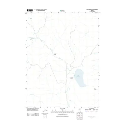
2011 Map of High Rock Lake
USGS Topo · Published 2011About this map
High Rock Lake sits as the central focal point of this arid Great Basin landscape, where drainage from High Rock Creek and Fly Creek collects in a basin defined by steep-walled depressions. The terrain is deeply incised by multiple geological features, most notably High Rock Canyon and Little High Rock Canyon, which showcase the drainage patterns typical of this part of Washoe County.
Find a feature on this map
16 named features on this map. Tap any name to fly to it.
Don’t see what you’re looking for? This feature index may not catch every label — zoom into the map to look around manually.
Map Details
Editions of this 2011 High Rock Lake Map
This is the sole edition of this map. No revisions or reprints were ever made.
Other maps of this area
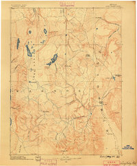
1889 · Long Valley
USGS Topo · 1:250,000

1954 · Vya
USGS Topo · 1:250,000

1958 · Vya
USGS Topo · 1:250,000

1962 · Vya
USGS Topo · 1:250,000
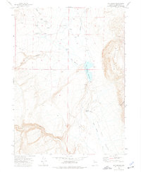
1972 · Mud Meadow
USGS Topo · 1:24,000
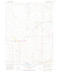
1972 · Mahogany Mtn
USGS Topo · 1:24,000
1972 · Soldier Meadow
USGS Topo · 1:24,000
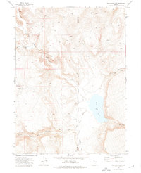
1972 · High Rock Lake
USGS Topo · 1:24,000
1972 · Yellow Hills East
USGS Topo · 1:24,000
1972 · Yellow Hills West
USGS Topo · 1:24,000