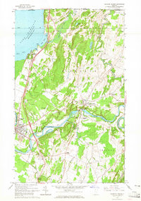
1964 Map of Highgate Center
USGS Topo · Published 1965About this map
The Missisquoi River cuts a winding path across this Franklin County landscape, fueling the industrial and civic development of Highgate Center and Highgate Falls. In the mid-1960s, the river's power is harnessed by a powerplant near the falls, while the wider region is defined by a dense network of family and community history. Numerous burial grounds, including Stimet Cem, Sherwood Cem, and the St Albans Road Cem, are scattered across the township, providing a detailed record of the area's early settlers and agricultural heritage.
Find a feature on this map
57 named features on this map. Tap any name to fly to it.
Don’t see what you’re looking for? This feature index may not catch every label — zoom into the map to look around manually.
Map Details
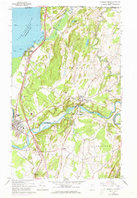
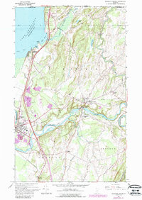
Editions of this 1964 Highgate Center Map
3 editions found
Other maps of this area

1914 · St. Albans
USGS Topo · 1:48,000

1916 · St. Albans
USGS Topo · 1:62,500

1920 · Franklin Pond
USGS Topo · 1:62,500

1922 · Enosburg Falls
USGS Topo · 1:48,000

1924 · Enosburg Falls
USGS Topo · 1:62,500

1943 · St. Albans
USGS Topo · 1:62,500

1944 · Enosburg Falls
USGS Topo · 1:62,500

1950 · Lake Champlain
USGS Topo · 1:250,000
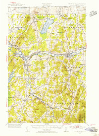
1953 · Enosburg Falls
USGS Topo · 1:62,500

1958 · Lake Champlain
USGS Topo · 1:250,000