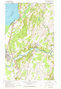
1964 Map of Highgate Center
USGS Topo · Published 1973About this map
Missisquoi Bay and the northern reaches of Lake Champlain define the western edge of this 1960s Vermont landscape, where the international boundary between Canada and the United States meets the Rock River. The settlement pattern centers on the Missisquoi River, which powers local industry via a powerplant near Highgate Falls and Highgate Center. The distribution of family and community burial grounds, such as Webster Cem and Stimet Cem, reflects long-standing rural neighborhoods along the drainage of Saxe Brook and Swanton.
Find a feature on this map
58 named features on this map. Tap any name to fly to it.
Don’t see what you’re looking for? This feature index may not catch every label — zoom into the map to look around manually.
Map Details
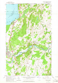
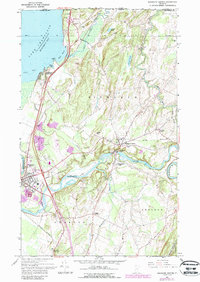
Editions of this 1964 Highgate Center Map
3 editions found
Other maps of this area

1914 · St. Albans
USGS Topo · 1:48,000

1916 · St. Albans
USGS Topo · 1:62,500

1920 · Franklin Pond
USGS Topo · 1:62,500

1922 · Enosburg Falls
USGS Topo · 1:48,000

1924 · Enosburg Falls
USGS Topo · 1:62,500

1943 · St. Albans
USGS Topo · 1:62,500

1944 · Enosburg Falls
USGS Topo · 1:62,500

1950 · Lake Champlain
USGS Topo · 1:250,000
1953 · Enosburg Falls
USGS Topo · 1:62,500

1958 · Lake Champlain
USGS Topo · 1:250,000