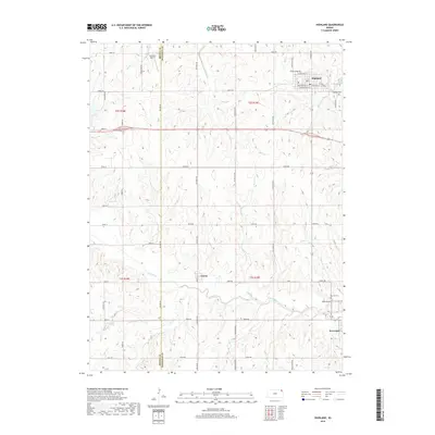
2018 Map of Highland
USGS Topo · Published 2018About this map
Wolf River meanders across the southern half of this Kansas landscape, serving as the primary drainage for the surrounding hills of Doniphan and Brown Counties. The town of Highland sits in the northeast, defined by a grid of streets including W Missouri St and E Main St, with the Highland Cem located on its eastern edge. Further south, the smaller settlements of Leona and Severance provide local anchors within a dense network of section-line roads like Ash Point Rd and Castleton Rd. The terrain is deeply etched by a series of tributaries including Mission Cr, Charlie Cr, and Halling Cr, which reveal the underlying topography of the glaciated plains. Genealogists can locate family sites near Oak Hill Cem or trace the early aviation footprints at Sommers Airport and Rush Airport.
Find a feature on this map
56 named features on this map. Tap any name to fly to it.
Don’t see what you’re looking for? This feature index may not catch every label — zoom into the map to look around manually.
Map Details
Editions of this 2018 Highland Map
This is the sole edition of this map. No revisions or reprints were ever made.
Other maps of this area

1885 · Atchison
USGS Topo · 1:125,000

1888 · Atchison
USGS Topo · 1:125,000

1893 · Atchison
USGS Topo · 1:125,000

1926 · Atchison
USGS Topo · 1:62,500

1926 · Oregon
USGS Topo · 1:62,500

1950 · Kansas City
USGS Topo · 1:250,000

1954 · Kansas City
USGS Topo · 1:250,000

1956 · Kansas City
USGS Topo · 1:250,000
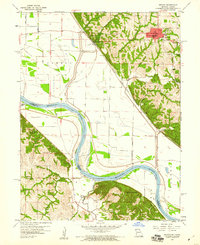
1959 · Oregon
USGS Topo · 1:24,000
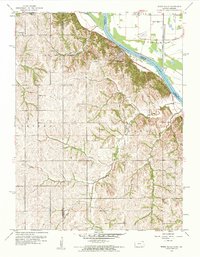
1959 · White Cloud
USGS Topo · 1:24,000