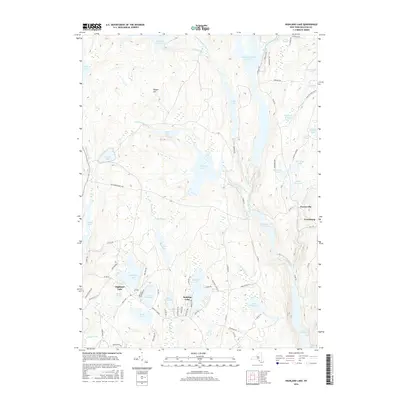
2016 Map of Highland Lake
USGS Topo · Published 2016About this map
The Mongaup River corridor defines this landscape in the mid-2010s, characterized by a complex network of reservoirs and narrow mountain brooks. The map centers on the water-driven geography of Sullivan County, where the Swinging Bridge Reservoir and Mongaup Falls Reservoir illustrate the legacy of regional hydroelectric development. These large bodies of water are joined by smaller, historically named ponds and lakes such as Wickman Millpond and Lebanon Lake, which speak to the area's transition from early industrial milling to its contemporary role as a seasonal retreat.
Find a feature on this map
82 named features on this map. Tap any name to fly to it.
Don’t see what you’re looking for? This feature index may not catch every label — zoom into the map to look around manually.
Map Details
Editions of this 2016 Highland Lake Map
This is the sole edition of this map. No revisions or reprints were ever made.
Other maps of this area

1906 · Port Jervis
USGS Topo · 1:62,500

1908 · Port Jervis
USGS Topo · 1:62,500

1909 · Monticello
USGS Topo · 1:62,500

1911 · Monticello
USGS Topo · 1:62,500

1913 · Milford
USGS Topo · 1:62,500

1915 · Milford
USGS Topo · 1:62,500

1922 · White Lake
USGS Topo · 1:62,500

1942 · White Lake
USGS Topo · 1:62,500

1942 · Port Jervis North
USGS Topo · 1:24,000
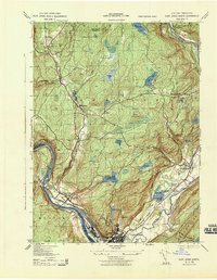
1943 · Port Jervis North
USGS Topo · 1:31,680