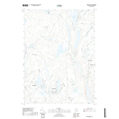
2019 Map of Highland Lake
USGS Topo · Published 2019About this map
The Mongaup River corridor defines the geography of this Sullivan County landscape, where the waters are harnessed by the Swinging Bridge Reservoir and Toronto Reservoir. This area is characterized by a high density of smaller lakes and ponds that have shaped local settlement patterns, including the communities of Highland Lake and Forestburg. The terrain rises toward Chapin Hill, with drainage provided by features like Black Lake Cr and Lebanon Lake Brook.
Find a feature on this map
86 named features on this map. Tap any name to fly to it.
Don’t see what you’re looking for? This feature index may not catch every label — zoom into the map to look around manually.
Map Details
Editions of this 2019 Highland Lake Map
This is the sole edition of this map. No revisions or reprints were ever made.
Other maps of this area

1906 · Port Jervis
USGS Topo · 1:62,500

1908 · Port Jervis
USGS Topo · 1:62,500

1909 · Monticello
USGS Topo · 1:62,500

1911 · Monticello
USGS Topo · 1:62,500

1913 · Milford
USGS Topo · 1:62,500

1915 · Milford
USGS Topo · 1:62,500

1922 · White Lake
USGS Topo · 1:62,500

1942 · White Lake
USGS Topo · 1:62,500

1942 · Port Jervis North
USGS Topo · 1:24,000
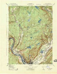
1943 · Port Jervis North
USGS Topo · 1:31,680