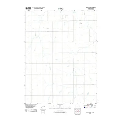
2009 Map of Highland NW
USGS Topo · Published 2009About this map
Kenyon Cemetery sits near the eastern edge of this agricultural landscape in northeast Kansas, just south of the Nebraska border. The terrain is defined by the winding paths of several waterways, including Noharts Creek, Roys Creek, and Lost Shirt Creek, which cut through the section lines of the rural road network. At the northern boundary, the Old Channel Big Nemaha River marks a remnant of the river's historic course. The map illustrates a strictly organized grid of country roads with names like Mulberry Rd, Plum Tree Rd, and Raccoon Rd, reflecting a landscape largely dedicated to farming and sparse rural residence during the early 21st century.
Find a feature on this map
30 named features on this map. Tap any name to fly to it.
Don’t see what you’re looking for? This feature index may not catch every label — zoom into the map to look around manually.
Map Details
Editions of this 2009 Highland NW Map
This is the sole edition of this map. No revisions or reprints were ever made.
Other maps of this area

1885 · Atchison
USGS Topo · 1:125,000

1888 · Atchison
USGS Topo · 1:125,000

1888 · Hiawatha
USGS Topo · 1:125,000

1893 · Atchison
USGS Topo · 1:125,000

1894 · Hiawatha
USGS Topo · 1:125,000

1915 · Falls City
USGS Topo · 1:62,500

1920 · Craig
USGS Topo · 1:62,500

1950 · Kansas City
USGS Topo · 1:250,000

1954 · Kansas City
USGS Topo · 1:250,000

1955 · Nebraska City
USGS Topo · 1:250,000