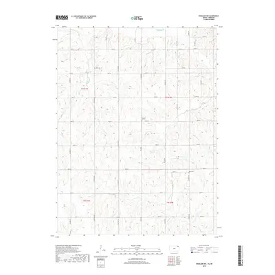
2018 Map of Highland NW
USGS Topo · Published 2018About this map
Old Channel Big Nemaha River defines the northern edge of this agricultural landscape in northeast Kansas. The area is characterized by a dense grid of rural roads and the drainage patterns of several local waterways, including Noharts Cr, Roys Cr, and the curiously named Lost Shirt Cr. This 2018 survey provides a clear view of the rural sections and township lines that have organized the region since its early settlement. For those researching family history or local land use, several historic burial grounds are preserved on the sheet, such as Laus Creek Cem in the northwest, Pleasant Hill Cem near the center, and Kenyon Cem to the east. The map reflects the enduring rural character of Brown County, where the road network follows strict section lines despite the meandering creek beds that break the terrain.
Find a feature on this map
33 named features on this map. Tap any name to fly to it.
Don’t see what you’re looking for? This feature index may not catch every label — zoom into the map to look around manually.
Map Details
Editions of this 2018 Highland NW Map
This is the sole edition of this map. No revisions or reprints were ever made.
Other maps of this area
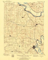
1885 · Atchison
USGS Topo · 1:125,000
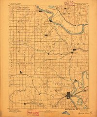
1888 · Atchison
USGS Topo · 1:125,000
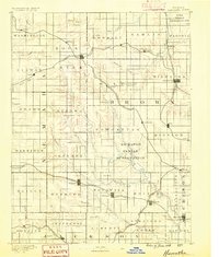
1888 · Hiawatha
USGS Topo · 1:125,000
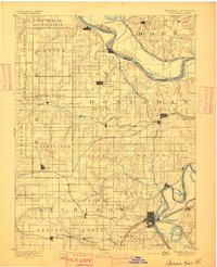
1893 · Atchison
USGS Topo · 1:125,000
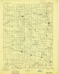
1894 · Hiawatha
USGS Topo · 1:125,000
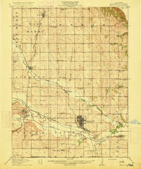
1915 · Falls City
USGS Topo · 1:62,500
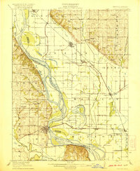
1920 · Craig
USGS Topo · 1:62,500
1950 · Kansas City
USGS Topo · 1:250,000
1954 · Kansas City
USGS Topo · 1:250,000
1955 · Nebraska City
USGS Topo · 1:250,000