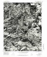
1977 Map of Highland Springs
USGS Topo · Published 1980About this map
Adobe Creek winds through a landscape of high ridges and narrow valleys in this orthophotomap of Lake County. Unlike traditional topographic sheets, this aerial perspective provides a photographic view of the dense vegetation and drainage patterns across the local Mountains as they appeared in the late 1970s. The contrast between the undeveloped high ground and the geometric grid of cultivated fields in the east illustrates the sharp transition between the region’s wilder uplands and its agricultural valley floor. Researchers can use this photographic data to study land use and brush cover during a period of significant regional mapping by the U.S. Geological Survey.
Find a feature on this map
2 named features on this map. Tap any name to fly to it.
Don’t see what you’re looking for? This feature index may not catch every label — zoom into the map to look around manually.
Map Details
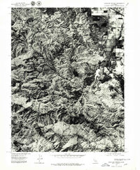
Editions of this 1977 Highland Springs Map
2 editions found
Other maps of this area

1920 · Ukiah
USGS Topo · 1:62,500

1921 · Kelseyville
USGS Topo · 1:62,500

1938 · Lakeport
USGS Topo · 1:62,500

1938 · Hopland
USGS Topo · 1:62,500

1943 · Kelseyville
USGS Topo · 1:62,500

1943 · Hopland
USGS Topo · 1:62,500

1944 · Ukiah
USGS Topo · 1:62,500

1944 · Hopland
USGS Topo · 1:62,500

1947 · Santa Rosa
USGS Topo · 1:250,000

1949 · Santa Rosa
USGS Topo · 1:250,000