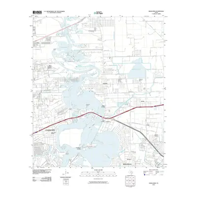
2010 Map of Highlands
USGS Topo · Published 2010About this map
Highlands and the industrial corridors of Channelview dominate this landscape where the San Jacinto River and Buffalo Bayou meet. This survey captures a dense network of coastal communities and waterways shortly after the turn of the millennium, revealing how the landscape has been reshaped by infrastructure like the Highlands Reservoir Dam and the Lynchburg Reservoir Dam. For genealogists, the DeZavalla Cemetery near the riverbank remains a critical landmark for local history.
Find a feature on this map
72 named features on this map. Tap any name to fly to it.
Don’t see what you’re looking for? This feature index may not catch every label — zoom into the map to look around manually.
Map Details
Editions of this 2010 Highlands Map
This is the sole edition of this map. No revisions or reprints were ever made.
Other maps of this area
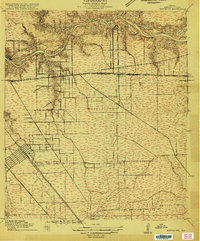
1915 · Deepwater
USGS Topo · 1:24,000
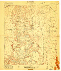
1916 · Burnett Bay
USGS Topo · 1:24,000
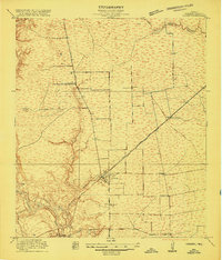
1916 · Crosby
USGS Topo · 1:24,000
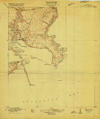
1916 · Morgan Point
USGS Topo · 1:24,000
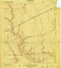
1916 · Fauna
USGS Topo · 1:24,000
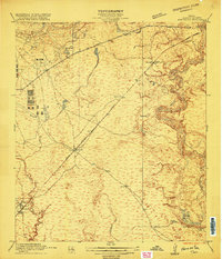
1916 · Harmaston
USGS Topo · 1:24,000
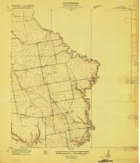
1916 · Cedar Bayou
USGS Topo · 1:24,000
1916 · La Porte
USGS Topo · 1:24,000
1919 · Morgan Point
USGS Topo · 1:31,680
1919 · Deepwater
USGS Topo · 1:31,680