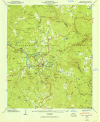
1946 Map of Highlands
USGS Topo · Published 1954About this map
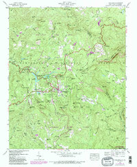
Highlands sits at the heart of this mid-century survey, a high-elevation settlement in the Nantahala National Forest surrounded by the dramatic drops of the Cullasaja River and Chattooga River. The map captures the town's transition into a seasonal destination, featuring the Highlands Country Club and several reservoirs like Lake Sequoyah and Mirror Lake. Beyond the town center, the landscape is dotted with rural identifiers essential for family history research, including the Horse Cove Cem, Clear Creek School, and Shortoff Church.
Find a feature on this map
129 named features on this map. Tap any name to fly to it.
Don’t see what you’re looking for? This feature index may not catch every label — zoom into the map to look around manually.
Map Details
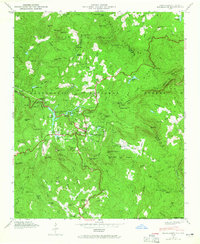
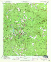
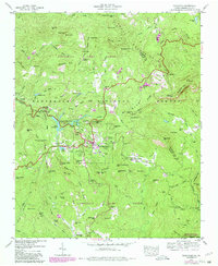
Editions of this 1946 Highlands Map
5 editions found
Other maps of this area

1886 · Walhalla
USGS Topo · 1:125,000

1891 · Cowee
USGS Topo · 1:125,000

1892 · Walhalla
USGS Topo · 1:125,000

1896 · Walhalla
USGS Topo · 1:125,000

1897 · Cowee
USGS Topo · 1:125,000

1907 · Cowee
USGS Topo · 1:125,000

1935 · Cashiers
USGS Topo · 1:24,000

1935 · Scaly
USGS Topo · 1:24,000

1935 · Rabun Bald
USGS Topo · 1:24,000

1935 · Glenville
USGS Topo · 1:24,000