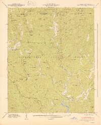
1947 Map of Hightower Bald
USGS Topo · Published 1947About this map
Tate City sits deep in the mountain valleys along the Tallulah River in this postwar survey of the Georgia-North Carolina border. The landscape is defined by the high peaks of the Nantahala National Forest and Chattahoochee National Forest, where the Appalachian Trail winds through prominent gaps like Bly Gap and Plumorchard Gap. This era reveals a network of rural community landmarks, including the Plumorchard Ch and local education centers like the Pleasant Hill Sch and Tate City Sch.
Find a feature on this map
88 named features on this map. Tap any name to fly to it.
Don’t see what you’re looking for? This feature index may not catch every label — zoom into the map to look around manually.
Map Details
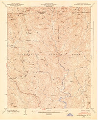
Editions of this 1947 Hightower Bald Map
2 editions found
Other maps of this area

1886 · Dahlonega
USGS Topo · 1:125,000

1886 · Walhalla
USGS Topo · 1:125,000

1891 · Cowee
USGS Topo · 1:125,000

1892 · Dahlonega
USGS Topo · 1:125,000

1892 · Walhalla
USGS Topo · 1:125,000

1896 · Walhalla
USGS Topo · 1:125,000

1896 · Dahlonega
USGS Topo · 1:125,000

1897 · Cowee
USGS Topo · 1:125,000

1903 · Dahlonega
USGS Topo · 1:125,000

1907 · Cowee
USGS Topo · 1:125,000