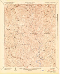
1947 Map of Hightower Bald
USGS Topo · Published 1947About this map
Tate City and Persimmon stand as the primary settlements within this high-elevation terrain along the North Carolina-Georgia border in the late 1940s. The landscape is defined by the Blue Ridge Tennessee Valley Divide, where headwaters like the Tallulah River and Hightower Creek carve through the deep ridges of the Nantahala National Forest and Chattahoochee National Forest. This survey captures the rural infrastructure of the era, noting the Tate City Sch and Pleasant Hill Sch, alongside local landmarks such as King Chapel and Plumorchard Ch. The Appalachian Trail snakes across the northern ridges, crossing through Bly Gap and past Hightower Bald, while the southern portion of the map shows the early route of the Scenic Highway winding toward the Burton Reservoir.
Find a feature on this map
117 named features on this map. Tap any name to fly to it.
Don’t see what you’re looking for? This feature index may not catch every label — zoom into the map to look around manually.
Map Details
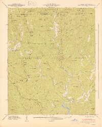
Editions of this 1947 Hightower Bald Map
2 editions found
Other maps of this area

1886 · Dahlonega
USGS Topo · 1:125,000

1886 · Walhalla
USGS Topo · 1:125,000

1891 · Cowee
USGS Topo · 1:125,000

1892 · Dahlonega
USGS Topo · 1:125,000

1892 · Walhalla
USGS Topo · 1:125,000

1896 · Walhalla
USGS Topo · 1:125,000

1896 · Dahlonega
USGS Topo · 1:125,000

1897 · Cowee
USGS Topo · 1:125,000

1903 · Dahlonega
USGS Topo · 1:125,000

1907 · Cowee
USGS Topo · 1:125,000