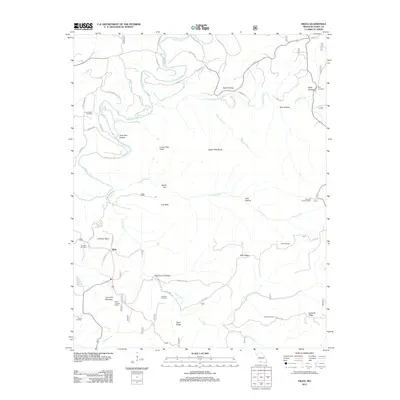
2012 Map of Hilda
USGS Topo · Published 2012About this map
Hilda serves as the primary settlement in this Ozark landscape, situated near the intersection of Highway 160 and Highway 76. The terrain is defined by a dense network of ridges and hollows, including Johnson Bald and Blair Ridge, which dictate the winding paths of local roads like Cross Timbers Rd and Blair Ridge Rd. Waterways such as Beaver Creek and Long Creek carve through the topography, flanked by numerous family-named cemeteries that provide a significant record for genealogical research. Notable high points include Lime Kiln Mountain and Upper Pilot Knob, with the Hilda Lookout Tower and Hercules Lookout Tower positioned to monitor the surrounding timberlands. The small settlement of Jody and landmarks like Devils Den further illustrate the localized naming conventions and traditional land use patterns of Taney County during the early 21st century.
Find a feature on this map
57 named features on this map. Tap any name to fly to it.
Don’t see what you’re looking for? This feature index may not catch every label — zoom into the map to look around manually.
Map Details
Editions of this 2012 Hilda Map
This is the sole edition of this map. No revisions or reprints were ever made.
Other maps of this area

1907 · Forsyth
USGS Topo · 1:125,000

1937 · Bradleyville
USGS Topo · 1:48,000

1943 · Protem
USGS Topo · 1:62,500

1943 · Bradleyville
USGS Topo · 1:62,500

1945 · Harrison
USGS Topo · 1:250,000

1945 · Bradleyville
USGS Topo · 1:62,500

1949 · Harrison
USGS Topo · 1:250,000

1954 · Harrison
USGS Topo · 1:250,000

1955 · Garrison
USGS Topo · 1:24,000
1956 · Mincy
USGS Topo · 1:24,000