
2015 Map of Hilda
USGS Topo · Published 2015About this map
Hilda sits at the heart of this landscape, surrounded by the wooded expanses of the Mark Twain National Forest. The topography is defined by a dense network of hollows and ridges, where Beaver Creek and Long Creek carve through the Missouri terrain. Family history is etched into the map through numerous burial grounds such as Bray Cemetery, Lone Pilgrim Cemetery, and Johnson Cemetery, which serve as markers of early settlement patterns in Taney County. High points like Lower Pilot Knob, Upper Pilot Knob, and Coy Bald provide natural landmarks, while Lime Kiln Mountain suggests historical land use. This survey illustrates the intricate layout of rural routes, including Rockin MN Ranch Road and Cane Creek Road, that connect these isolated settlements and family plots within the forest boundaries.
Find a feature on this map
62 named features on this map. Tap any name to fly to it.
Don’t see what you’re looking for? This feature index may not catch every label — zoom into the map to look around manually.
Map Details
Editions of this 2015 Hilda Map
This is the sole edition of this map. No revisions or reprints were ever made.
Other maps of this area
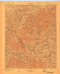
1907 · Forsyth
USGS Topo · 1:125,000
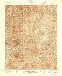
1937 · Bradleyville
USGS Topo · 1:48,000
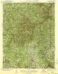
1943 · Protem
USGS Topo · 1:62,500
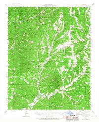
1943 · Bradleyville
USGS Topo · 1:62,500

1945 · Harrison
USGS Topo · 1:250,000
1945 · Bradleyville
USGS Topo · 1:62,500

1949 · Harrison
USGS Topo · 1:250,000

1954 · Harrison
USGS Topo · 1:250,000
1955 · Garrison
USGS Topo · 1:24,000
1956 · Mincy
USGS Topo · 1:24,000