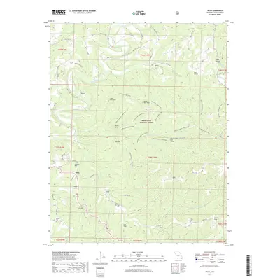
2017 Map of Hilda
USGS Topo · Published 2017About this map
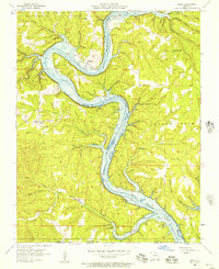
Hilda serves as a central anchor for this part of Taney County, surrounded by the heavily dissected terrain of the Mark Twain National Forest. The landscape is defined by its numerous "hollows" and ridges, such as Wild Cat Hollow, Hoot Owl Hollow, and Blair Ridge, which dictate the winding paths of rural routes like State Hwy FF and Blair Ridge Rd. Significant vertical features like Lower Pilot Knob and Upper Pilot Knob rise above the drainage of Beaver Creek, where the Hercules Glade Tower once provided a vantage point over the timbered hills.
Find a feature on this map
82 named features on this map. Tap any name to fly to it.
Don’t see what you’re looking for? This feature index may not catch every label — zoom into the map to look around manually.
Map Details
Editions of this 2017 Hilda Map
This is the sole edition of this map. No revisions or reprints were ever made.
Other maps of this area
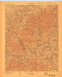
1907 · Forsyth
USGS Topo · 1:125,000
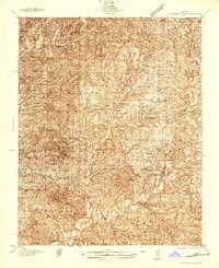
1937 · Bradleyville
USGS Topo · 1:48,000
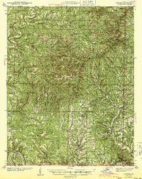
1943 · Protem
USGS Topo · 1:62,500
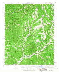
1943 · Bradleyville
USGS Topo · 1:62,500

1945 · Harrison
USGS Topo · 1:250,000
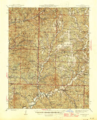
1945 · Bradleyville
USGS Topo · 1:62,500

1949 · Harrison
USGS Topo · 1:250,000
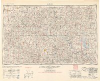
1954 · Harrison
USGS Topo · 1:250,000
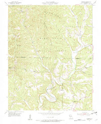
1955 · Garrison
USGS Topo · 1:24,000
1956 · Mincy
USGS Topo · 1:24,000