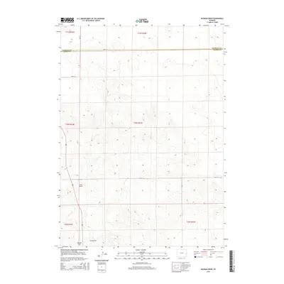
2015 Map of Hileman Draw
USGS Topo · Published 2015About this map
Little Tetons rises as a prominent high point in this corner of Goshen and Niobrara counties, overlooking a landscape defined by seasonal drainage systems and remote rangeland. The map illustrates a sparse network of county infrastructure, including Road 146 and Road 136, which traverse the high plains between deep draws. The namesake Hileman Draw and nearby Lowry Draw reveal the erosional patterns of the eastern Wyoming prairie, where intermittent water sources like J M Cr have shaped the land. This survey captures the rural character of the region, documenting the section lines and township boundaries that still govern land ownership and movement across this high-altitude terrain.
Find a feature on this map
16 named features on this map. Tap any name to fly to it.
Don’t see what you’re looking for? This feature index may not catch every label — zoom into the map to look around manually.
Map Details
Editions of this 2015 Hileman Draw Map
This is the sole edition of this map. No revisions or reprints were ever made.
Other maps of this area
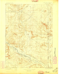
1896 · Patrick
USGS Topo · 1:125,000
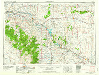
1954 · Torrington
USGS Topo · 1:250,000
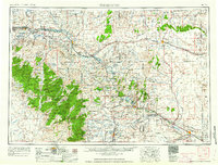
1958 · Torrington
USGS Topo · 1:250,000
1974 · Mc Master Reservoir
USGS Topo · 1:24,000
1974 · Jay Em NW
USGS Topo · 1:24,000
1974 · Jay Em
USGS Topo · 1:24,000
1974 · Rawhide Buttes East
USGS Topo · 1:24,000
1974 · Reynolds Spring
USGS Topo · 1:24,000
1977 · Hileman Draw
USGS Topo · 1:24,000
1977 · Prairie Center
USGS Topo · 1:24,000