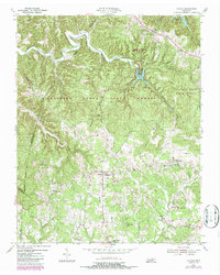
1955 Map of Hilham
USGS Topo · Published 1987About this map
Standing Stone State Forest dominates the northern landscape of this region, where the rugged drainages of Mill Creek and Cooper Creek carve into the Highland Rim. This mid-century survey captures a rural landscape defined by community-centered landmarks like the Fisk Academy in Hilham and numerous country congregations including Maxwell Chapel and the Burdhett Gem McFerrin Ch. The topography is marked by significant elevations such as Wilson Mtn and Goodpasture Mountain, with the Standing Stone Lookout Tower positioned as a primary vantage point for forest management. Cultural history is evident in the network of small settlements like Timothy and Old Flat Creek, alongside several unnamed cemeteries and schools such as New Liberty Sch and Oak Grove Sch that anchored these upland Tennessee neighborhoods during the transition into the modern era.
Find a feature on this map
34 named features on this map. Tap any name to fly to it.
Don’t see what you’re looking for? This feature index may not catch every label — zoom into the map to look around manually.
Map Details
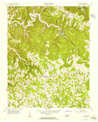
Editions of this 1955 Hilham Map
2 editions found
Other maps of this area

1897 · Standingstone
USGS Topo · 1:125,000

1898 · Standingstone
USGS Topo · 1:125,000

1924 · Lillydale
USGS Topo · 1:62,500

1925 · Gainesboro
USGS Topo · 1:62,500

1926 · Lillydale
USGS Topo · 1:62,500

1929 · Lillydale
USGS Topo · 1:62,500

1929 · Gainesboro
USGS Topo · 1:62,500

1929 · Tompkinsville
USGS Topo · 1:62,500

1944 · Livingston
USGS Topo · 1:24,000

1951 · Windle
USGS Topo · 1:24,000