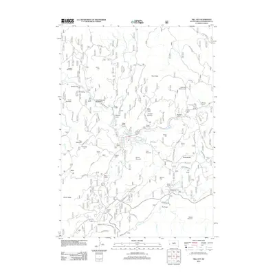
2012 Map of Hill City
USGS Topo · Published 2012About this map
Gold Mountain Subdivision and the established settlements of Kennedyville and Reno anchor this portrait of Pennington County's mountainous heart. The landscape is defined by a dense network of drainages and named gulches, including Black Miner Gulch, Sunday Gulch, and Ruby Gulch, which reflect the region's deep connection to mineral prospecting and local topography. High elevations are marked by prominent summits like Summit Peak, Ford Mountain, and Elkhorn Mountain, with the distinctive formation known as The Pulpit standing out in the southern reaches.
Find a feature on this map
60 named features on this map. Tap any name to fly to it.
Don’t see what you’re looking for? This feature index may not catch every label — zoom into the map to look around manually.
Map Details
Editions of this 2012 Hill City Map
This is the sole edition of this map. No revisions or reprints were ever made.
Other maps of this area

1893 · Rapid
USGS Topo · 1:125,000

1894 · Deadwood
USGS Topo · 1:125,000

1894 · Hermosa
USGS Topo · 1:125,000

1896 · Harney Peak
USGS Topo · 1:125,000

1898 · Rapid
USGS Topo · 1:125,000

1901 · Hermosa
USGS Topo · 1:125,000

1901 · Harney Peak
USGS Topo · 1:125,000

1901 · Deadwood
USGS Topo · 1:125,000

1903 · Rapid
USGS Topo · 1:125,000

1916 · Deadwood
USGS Topo · 1:125,000