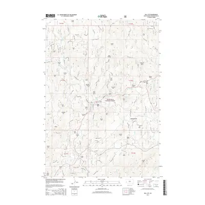
2015 Map of Hill City
USGS Topo · Published 2015About this map
Hill City sits at the heart of the Black Hills National Forest, where the intersection of E Main St and Rochford Road serves as a central hub for the surrounding gulches and peaks. This 2015 topography illustrates a landscape defined by its mining and timber heritage, with numerous drainage features such as China Gulch and Black Miner Gulch pointing to the area's extraction history. Nearby, Major Lake and the smaller Mitchell Lake provide water resources amidst the high-elevation terrain of Bishop Mtn and Storm Hill.
Find a feature on this map
80 named features on this map. Tap any name to fly to it.
Don’t see what you’re looking for? This feature index may not catch every label — zoom into the map to look around manually.
Map Details
Editions of this 2015 Hill City Map
This is the sole edition of this map. No revisions or reprints were ever made.
Other maps of this area

1893 · Rapid
USGS Topo · 1:125,000

1894 · Deadwood
USGS Topo · 1:125,000

1894 · Hermosa
USGS Topo · 1:125,000

1896 · Harney Peak
USGS Topo · 1:125,000

1898 · Rapid
USGS Topo · 1:125,000

1901 · Hermosa
USGS Topo · 1:125,000

1901 · Harney Peak
USGS Topo · 1:125,000

1901 · Deadwood
USGS Topo · 1:125,000

1903 · Rapid
USGS Topo · 1:125,000

1916 · Deadwood
USGS Topo · 1:125,000