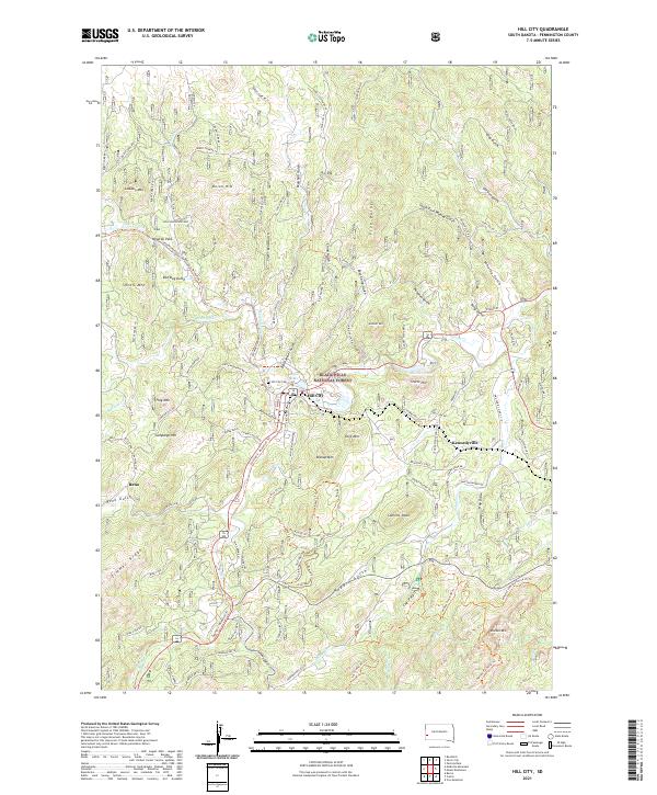
2021 Map of Hill City
USGS Topo · Published 2021About this map
Hill City serves as the central hub of this South Dakota landscape, positioned within the protected boundaries of the Black Hills National Forest. The geography is defined by a dense network of gulches and peaks, including Bishop Mtn, Flag Mtn, and Summit Peak. The presence of the George S. Mickelson Trl tracing the valley floor indicates the region's transition from its rail-heavy industrial past toward contemporary recreational use.
Find a feature on this map
97 named features on this map. Tap any name to fly to it.
Don’t see what you’re looking for? This feature index may not catch every label — zoom into the map to look around manually.
Map Details
Editions of this 2021 Hill City Map
This is the sole edition of this map. No revisions or reprints were ever made.
Other maps of this area

1893 · Rapid
USGS Topo · 1:125,000

1894 · Deadwood
USGS Topo · 1:125,000

1894 · Hermosa
USGS Topo · 1:125,000

1896 · Harney Peak
USGS Topo · 1:125,000

1898 · Rapid
USGS Topo · 1:125,000

1901 · Hermosa
USGS Topo · 1:125,000

1901 · Harney Peak
USGS Topo · 1:125,000

1901 · Deadwood
USGS Topo · 1:125,000

1903 · Rapid
USGS Topo · 1:125,000

1916 · Deadwood
USGS Topo · 1:125,000