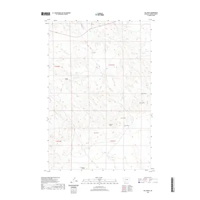
2020 Map of Hill Ranch
USGS Topo · Published 2020About this map
Hill Ranch sits at the heart of this Garfield County landscape, where the high plains are deeply etched by a network of drainage channels. The northern portion of the quadrangle is defined by the seasonal flows of Sage Hen Cr and its tributary, Dog Cr. This terrain is characterized by numerous coulees, which are steep-walled dry streambeds or ravines typical of the northern Great Plains. Notable examples include Melnick Coulee, Hughes Coulee, and Cooper Coulee, which pattern the eastern and central regions.
Find a feature on this map
18 named features on this map. Tap any name to fly to it.
Don’t see what you’re looking for? This feature index may not catch every label — zoom into the map to look around manually.
Map Details
Editions of this 2020 Hill Ranch Map
This is the sole edition of this map. No revisions or reprints were ever made.
Other maps of this area

1954 · Jordan
USGS Topo · 1:250,000

1954 · Forsyth
USGS Topo · 1:250,000

1956 · Jordan
USGS Topo · 1:250,000

1957 · Forsyth
USGS Topo · 1:250,000

1958 · Jordan
USGS Topo · 1:250,000

1958 · Forsyth
USGS Topo · 1:250,000

1962 · Mosby
USGS Topo · 1:24,000

1962 · Maxwell Ranch
USGS Topo · 1:24,000

1962 · Kincheloe Ranch
USGS Topo · 1:24,000

1962 · Mosby SE
USGS Topo · 1:24,000