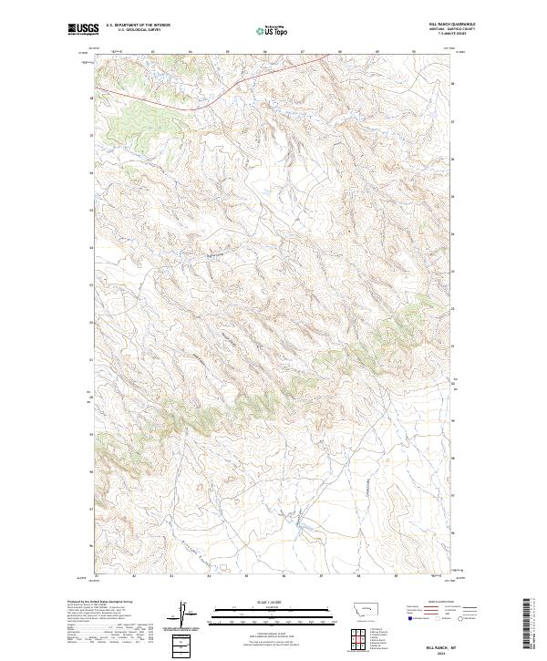
2024 Map of Hill Ranch
USGS Topo · Published 2024About this map
Sage Hen Creek and Dog Creek drain the northern reaches of this Garfield County landscape, illustrating the intricate drainage patterns typical of the Montana plains. The terrain is defined by a dense network of coulees that channel seasonal runoff toward the larger creek beds, including the prominent Nineteen Coulee in the south and Hughes Coulee in the center. These landforms dictate the placement of local thoroughfares like Stage Rd and Hill Rd, which navigate the high ground between these etched depressions.
Find a feature on this map
15 named features on this map. Tap any name to fly to it.
Don’t see what you’re looking for? This feature index may not catch every label — zoom into the map to look around manually.
Map Details
Editions of this 2024 Hill Ranch Map
This is the sole edition of this map. No revisions or reprints were ever made.
Other maps of this area

1954 · Jordan
USGS Topo · 1:250,000

1954 · Forsyth
USGS Topo · 1:250,000

1956 · Jordan
USGS Topo · 1:250,000

1957 · Forsyth
USGS Topo · 1:250,000

1958 · Jordan
USGS Topo · 1:250,000

1958 · Forsyth
USGS Topo · 1:250,000

1962 · Mosby
USGS Topo · 1:24,000

1962 · Maxwell Ranch
USGS Topo · 1:24,000

1962 · Kincheloe Ranch
USGS Topo · 1:24,000

1962 · Mosby SE
USGS Topo · 1:24,000