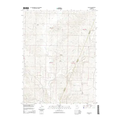
2014 Map of Hilldale
USGS Topo · Published 2014About this map
The community of Hilldale serves as a central point in this Missouri landscape, situated near the boundary where Howard and Boone Counties meet. This 2014 survey reveals a rural territory defined by its complex drainage network, where Moniteau Creek and its various tributaries like Caney Br and Prairie Cr wind through the terrain. The presence of Salt Springs and Big Spring indicates the natural hydrological features that have likely influenced local land use for generations.
Find a feature on this map
52 named features on this map. Tap any name to fly to it.
Don’t see what you’re looking for? This feature index may not catch every label — zoom into the map to look around manually.
Map Details
Editions of this 2014 Hilldale Map
This is the sole edition of this map. No revisions or reprints were ever made.
Other maps of this area

1886 · Jefferson City
USGS Topo · 1:125,000

1888 · Boonville
USGS Topo · 1:125,000

1890 · Moberly
USGS Topo · 1:125,000

1890 · Glasgow
USGS Topo · 1:125,000

1894 · Jefferson City
USGS Topo · 1:125,000

1917 · Sturgeon
USGS Topo · 1:62,500

1947 · Jefferson City
USGS Topo · 1:250,000

1948 · Columbia
USGS Topo · 1:62,500

1950 · Columbia
USGS Topo · 1:62,500

1952 · Rocheport
USGS Topo · 1:24,000