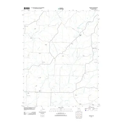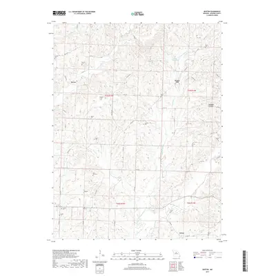
2021 Map of Hilldale
USGS Topo · Published 2021About this map
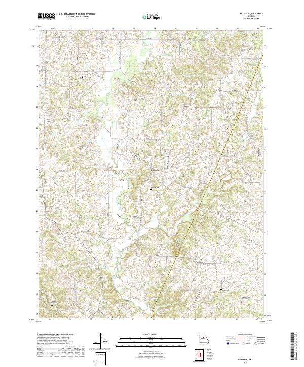
Moniteau Creek and its many tributaries, including Pipes Br and Caney Br, define the drainage patterns across this rural landscape on the border of Howard and Boone counties. The small settlement of Hilldale serves as a central point in a region primarily characterized by its natural water features and agricultural road network. The map reveals a high concentration of historical burial sites such as Ricketts Cem, Hourigan Cem, and Walnut Grove Cem, which are vital for genealogical research in this part of Missouri. Most notable is the presence of distinctive hydrological landmarks, including Big Spring and the U S Salt Springs, the latter of which points to the area's geological history of saline mineral deposits that were once significant to early frontier industry and settlement.
Find a feature on this map
61 named features on this map. Tap any name to fly to it.
Don’t see what you’re looking for? This feature index may not catch every label — zoom into the map to look around manually.
Map Details
Editions of this 2021 Hilldale Map
This is the sole edition of this map. No revisions or reprints were ever made.
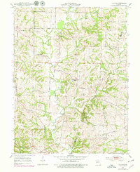
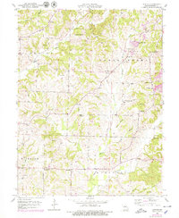
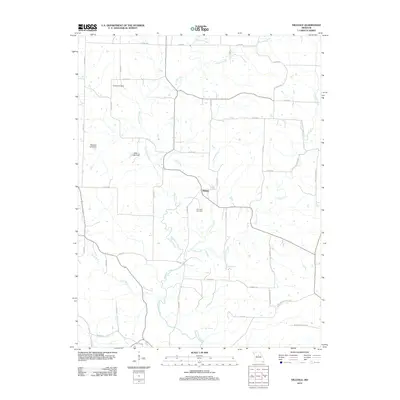
Historical Maps of Hilldale Through Time
10 maps found