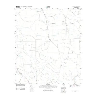
2012 Map of Hilliard NE
USGS Topo · Published 2012About this map
The low-lying wetlands of northern Nassau County define the character of this landscape, dominated by the winding course of the Little Saint Marys River and the expansive Spell Swamp. The small settlements of Lessie and Evergreen serve as local anchors in an area largely partitioned by rural routes and logging infrastructure, such as Logging Rd R-36. Genealogists may find value in the presence of Braddock Cem, situated near the headwaters of Little Boggy Cr. The map's drainage patterns are intricate, with Mills Cr and Cabbage Cr carving through the timberlands, while specialized crossings like the Coopers Neck Brg provide essential connectivity over the river's many branches. This 2012 survey illustrates the enduring rural nature of the Florida-Georgia borderlands just prior to more modern development cycles.
Find a feature on this map
53 named features on this map. Tap any name to fly to it.
Don’t see what you’re looking for? This feature index may not catch every label — zoom into the map to look around manually.
Map Details
Editions of this 2012 Hilliard NE Map
This is the sole edition of this map. No revisions or reprints were ever made.
Other maps of this area

1917 · Boulogne
USGS Topo · 1:62,500

1917 · Hilliard
USGS Topo · 1:62,500

1918 · St Marys
USGS Topo · 1:62,500

1918 · Kingsland
USGS Topo · 1:62,500

1919 · St Marys
USGS Topo · 1:62,500

1919 · Hilliard
USGS Topo · 1:62,500

1919 · Boulogne
USGS Topo · 1:62,500

1948 · Jacksonville
USGS Topo · 1:250,000

1957 · Jacksonville
USGS Topo · 1:250,000

1958 · Gross
USGS Topo · 1:24,000