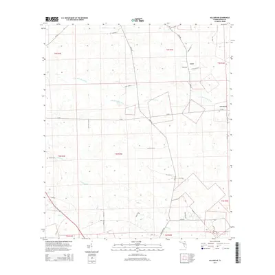
2015 Map of Hilliard NE
USGS Topo · Published 2015About this map
Little Saint Marys River meanders across this rural Nassau County landscape, anchoring a network of waterways that includes Mills Cr and Little Boggy Cr. Small communities such as Lessie and Evergreen are connected by a web of local roads, including CR-108 and the historically suggestive Bartram Trl. The area maintains its quiet, agricultural character, with the Braddock Cem serving as a localized point of historical interest for genealogists tracing family roots in this corner of Northeast Florida. The presence of numerous named tracks and connectors like Rayonier Road 90 and Turkey Town Ln indicates a terrain shaped by long-standing timber or land management practices.
Find a feature on this map
45 named features on this map. Tap any name to fly to it.
Don’t see what you’re looking for? This feature index may not catch every label — zoom into the map to look around manually.
Map Details
Editions of this 2015 Hilliard NE Map
This is the sole edition of this map. No revisions or reprints were ever made.
Other maps of this area

1917 · Boulogne
USGS Topo · 1:62,500

1917 · Hilliard
USGS Topo · 1:62,500

1918 · St Marys
USGS Topo · 1:62,500

1918 · Kingsland
USGS Topo · 1:62,500

1919 · St Marys
USGS Topo · 1:62,500

1919 · Hilliard
USGS Topo · 1:62,500

1919 · Boulogne
USGS Topo · 1:62,500

1948 · Jacksonville
USGS Topo · 1:250,000

1957 · Jacksonville
USGS Topo · 1:250,000

1958 · Gross
USGS Topo · 1:24,000