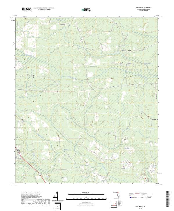
2024 Map of Hilliard NE
USGS Topo · Published 2024About this map
The Little Saint Marys River meanders through a dense network of hydrologic features in this section of Nassau County, defining a landscape dominated by wetlands and quiet rural settlements. Small communities like Evergreen and Lessie are positioned near expansive tracts such as White Oak Swamp and Wilder Swamp, illustrating the historic reliance on slightly elevated ground for habitation. The presence of Braddock Cem near Little Boggy Creek offers a specific point of interest for genealogists tracing local family histories.
Find a feature on this map
65 named features on this map. Tap any name to fly to it.
Don’t see what you’re looking for? This feature index may not catch every label — zoom into the map to look around manually.
Map Details
Editions of this 2024 Hilliard NE Map
This is the sole edition of this map. No revisions or reprints were ever made.
Other maps of this area

1917 · Boulogne
USGS Topo · 1:62,500

1917 · Hilliard
USGS Topo · 1:62,500

1918 · St Marys
USGS Topo · 1:62,500

1918 · Kingsland
USGS Topo · 1:62,500

1919 · St Marys
USGS Topo · 1:62,500

1919 · Hilliard
USGS Topo · 1:62,500

1919 · Boulogne
USGS Topo · 1:62,500

1948 · Jacksonville
USGS Topo · 1:250,000

1957 · Jacksonville
USGS Topo · 1:250,000

1958 · Gross
USGS Topo · 1:24,000