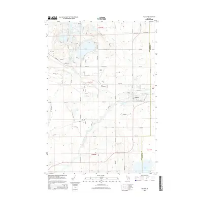
2014 Map of Hillman
USGS Topo · Published 2014About this map
Hillman serves as the central hub of this northern Michigan landscape, situated at the confluence of Brush Cr and the Thunder Bay River. The settlement pattern reflects a mix of civic infrastructure and recreation, with the Hillman Airport and Hillman Cem located just north of the village center. A network of county roads like Co Road 624 and Co Road 459 connects the town to several nearby glacial lakes.
Find a feature on this map
110 named features on this map. Tap any name to fly to it.
Don’t see what you’re looking for? This feature index may not catch every label — zoom into the map to look around manually.
Map Details
Editions of this 2014 Hillman Map
This is the sole edition of this map. No revisions or reprints were ever made.
Other maps of this area

1954 · Traverse City
USGS Topo · 1:250,000

1954 · Tawas City
USGS Topo · 1:250,000
1954 · Alpena
USGS Topo · 1:250,000
1955 · Atlanta
USGS Topo · 1:62,500
1955 · Comins
USGS Topo · 1:62,500
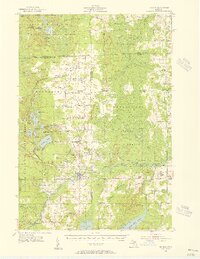
1955 · Hillman
USGS Topo · 1:62,500

1955 · Cheboygan
USGS Topo · 1:250,000
1957 · Alpena
USGS Topo · 1:250,000

1958 · Cheboygan
USGS Topo · 1:250,000

1958 · Traverse City
USGS Topo · 1:250,000