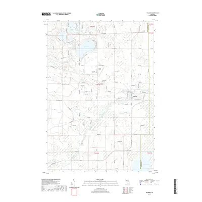
2019 Map of Hillman
USGS Topo · Published 2019About this map
The Thunder Bay River winds through the village of Hillman, serving as a central geographic anchor for this northeastern Michigan landscape. This 2019 survey captures the village at the confluence of several minor tributaries including Brush Cr and Miller Cr. The surrounding terrain is defined by a high density of glacial lakes and kettle ponds, most notably Avalon Lake, Ess Lake, and Beaver Lake.
Find a feature on this map
120 named features on this map. Tap any name to fly to it.
Don’t see what you’re looking for? This feature index may not catch every label — zoom into the map to look around manually.
Map Details
Editions of this 2019 Hillman Map
This is the sole edition of this map. No revisions or reprints were ever made.
Other maps of this area

1954 · Traverse City
USGS Topo · 1:250,000

1954 · Tawas City
USGS Topo · 1:250,000

1954 · Alpena
USGS Topo · 1:250,000

1955 · Atlanta
USGS Topo · 1:62,500

1955 · Comins
USGS Topo · 1:62,500

1955 · Hillman
USGS Topo · 1:62,500

1955 · Cheboygan
USGS Topo · 1:250,000

1957 · Alpena
USGS Topo · 1:250,000

1958 · Cheboygan
USGS Topo · 1:250,000

1958 · Traverse City
USGS Topo · 1:250,000