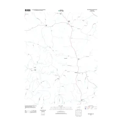
2013 Map of Hillsboro
USGS Topo · Published 2013About this map
The Licking River and its numerous tributaries, including Fox Cr and Locust Cr, define the rural geography of Fleming County in the early 21st century. Several small settlements such as Poplar Plains, Grassland, and Hillsboro anchor the local road network, while specialized landmarks like Days Mill and Mount Hope Camp speak to the long-standing land use in the region.
Find a feature on this map
75 named features on this map. Tap any name to fly to it.
Don’t see what you’re looking for? This feature index may not catch every label — zoom into the map to look around manually.
Map Details
Editions of this 2013 Hillsboro Map
This is the sole edition of this map. No revisions or reprints were ever made.
Other maps of this area

1929 · Salt Lick
USGS Topo · 1:62,500

1934 · Salt Lick
USGS Topo · 1:62,500

1951 · Hillsboro
USGS Topo · 1:24,000

1951 · Plummers Landing
USGS Topo · 1:24,000

1951 · Burtonville
USGS Topo · 1:24,000

1951 · Flemingsburg
USGS Topo · 1:24,000

1952 · Owingsville
USGS Topo · 1:24,000

1952 · Sherburne
USGS Topo · 1:24,000

1952 · Elizaville
USGS Topo · 1:24,000

1953 · Farmers
USGS Topo · 1:24,000