
1929 Map of Hillsboro
USGS Topo · Published 1929About this map
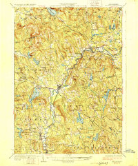
The Contoocook River winds through this New Hampshire landscape, anchoring the industrial and transit hubs of Henniker and Hillsboro during the late 1920s. A significant historical marker is noted west of the river: the Birthplace of Franklin Pierce, identifying the ancestral roots of the 14th U.S. President. The area shows a transition from river-side manufacturing toward upland agriculture, with the Boston and Maine Railroad connecting smaller hamlets like West Deering and Holton to the larger regional economy.
Find a feature on this map
129 named features on this map. Tap any name to fly to it.
Don’t see what you’re looking for? This feature index may not catch every label — zoom into the map to look around manually.
Map Details
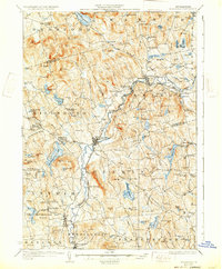
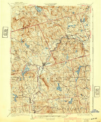
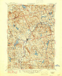
Editions of this 1929 Hillsboro Map
5 editions found
Other maps of this area

1898 · Monadnock
USGS Topo · 1:62,500

1900 · Peterboro
USGS Topo · 1:62,500

1902 · Sunapee
USGS Topo · 1:62,500

1905 · Sunapee
USGS Topo · 1:62,500

1906 · Milford
USGS Topo · 1:62,500

1907 · Sunapee
USGS Topo · 1:62,500

1926 · Hillsboro
USGS Topo · 1:62,500

1927 · Concord
USGS Topo · 1:62,500

1927 · Penacook
USGS Topo · 1:62,500

1928 · Mount Kearsarge
USGS Topo · 1:62,500