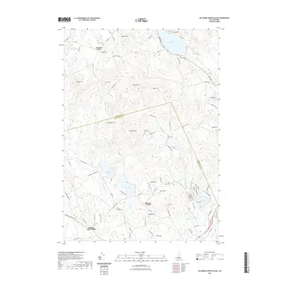
2021 Map of Hillsboro Upper Village
USGS Topo · Published 2021About this map
Bradford Center and Hillsboro Upper Village anchor a landscape defined by high ridges and numerous glacial water bodies along the county line between Merrimack County and Hillsborough County. The terrain is punctuated by significant elevations such as Bible Hill, Peaked Hill, and Thompson Hill, while the lowlands are dominated by Lake Massasecum in the north and the Contoocook River in the southeast. Genealogists will find a wealth of local history in the many family-named burial grounds, including the Coolidge Cem, Gerry Cem, and Munroe Cem. The distribution of these cemeteries alongside quiet rural intersections like Kimball Corner suggests an enduring pattern of small, dispersed agrarian settlements. Water remains a central feature of the district, from the larger Gould Pond to smaller catchments like Contention Pond and Loon Pond, which historically supported local industry and recreation.
Find a feature on this map
98 named features on this map. Tap any name to fly to it.
Don’t see what you’re looking for? This feature index may not catch every label — zoom into the map to look around manually.
Map Details
Editions of this 2021 Hillsboro Upper Village Map
This is the sole edition of this map. No revisions or reprints were ever made.
Other maps of this area

1902 · Sunapee
USGS Topo · 1:62,500

1905 · Sunapee
USGS Topo · 1:62,500

1907 · Sunapee
USGS Topo · 1:62,500

1926 · Hillsboro
USGS Topo · 1:62,500

1928 · Mount Kearsarge
USGS Topo · 1:62,500

1929 · Hillsboro
USGS Topo · 1:62,500

1930 · Lovewell Mountain
USGS Topo · 1:62,500

1931 · Mount Kearsarge
USGS Topo · 1:62,500

1942 · Lovewell Mountain
USGS Topo · 1:62,500

1949 · Portland
USGS Topo · 1:250,000