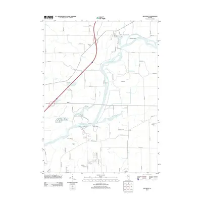
2012 Map of Hillsdale
USGS Topo · Published 2012About this map
The Rock River carves a winding path through this Illinois landscape, creating a series of complex waterways and islands such as Kempster Island and Peterson Island. The settlement of Hillsdale is situated near the river’s northern bend, while the community of Joslin and the riverfront area of Shady Beach occupy the southwestern reaches. The terrain is defined by its low-lying drainage features, including the Joslin Slough, Big Slough, and Zuma Cr, which suggest a floodplain environment shaped by the river's movement over time.
Find a feature on this map
92 named features on this map. Tap any name to fly to it.
Don’t see what you’re looking for? This feature index may not catch every label — zoom into the map to look around manually.
Map Details
Editions of this 2012 Hillsdale Map
This is the sole edition of this map. No revisions or reprints were ever made.
Other maps of this area

1892 · Leclaire
USGS Topo · 1:62,500

1893 · Leclaire
USGS Topo · 1:62,500

1899 · Clinton
USGS Topo · 1:125,000

1934 · Geneseo
USGS Topo · 1:62,500

1937 · Orion
USGS Topo · 1:62,500

1949 · Port Byron
USGS Topo · 1:24,000

1950 · Port Byron
USGS Topo · 1:24,000

1952 · Erie
USGS Topo · 1:62,500
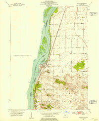
1952 · Cordova
USGS Topo · 1:24,000
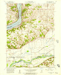
1953 · Port Byron
USGS Topo · 1:24,000