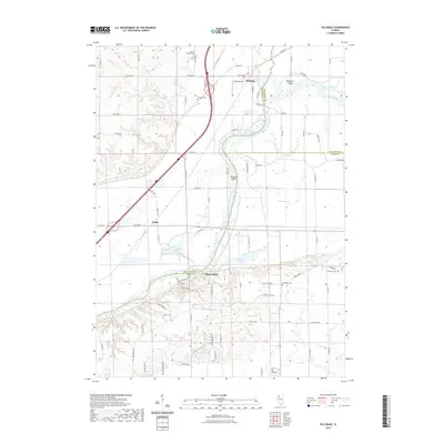
2021 Map of Hillsdale
USGS Topo · Published 2021About this map
The Rock River winds through a complex landscape of islands and sloughs at the junction of Rock Island, Henry, and Whiteside Counties. The village of Hillsdale sits at the northern edge of this drainage network, situated between Kempster Island and the Black Airport. To the southwest, the settlement of Joslin marks a point of higher ground above Joslin Slough. This region is defined by its low-lying hydrology, where features like Spade Slough, Oxbow Slough, and Shadow Lake illustrate the river's historical shifts. For local history researchers, the map identifies several rural landmarks, including the Bethesda Cem and Mount Moriah Cem north of the river, and the Colbert Cem and Ebenezer Cem to the south near Shady Beach. The intersection of multiple county lines and the presence of scattered residential pockets like Riverside Acres show the modern development pattern within this ancient floodplain.
Find a feature on this map
84 named features on this map. Tap any name to fly to it.
Don’t see what you’re looking for? This feature index may not catch every label — zoom into the map to look around manually.
Map Details
Editions of this 2021 Hillsdale Map
This is the sole edition of this map. No revisions or reprints were ever made.
Other maps of this area

1892 · Leclaire
USGS Topo · 1:62,500

1893 · Leclaire
USGS Topo · 1:62,500

1899 · Clinton
USGS Topo · 1:125,000

1934 · Geneseo
USGS Topo · 1:62,500

1937 · Orion
USGS Topo · 1:62,500

1949 · Port Byron
USGS Topo · 1:24,000

1950 · Port Byron
USGS Topo · 1:24,000

1952 · Erie
USGS Topo · 1:62,500
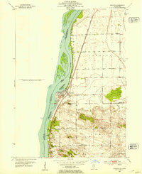
1952 · Cordova
USGS Topo · 1:24,000
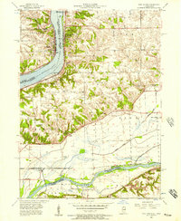
1953 · Port Byron
USGS Topo · 1:24,000