Loading...
Loading map...1982 Map of Hillsdale
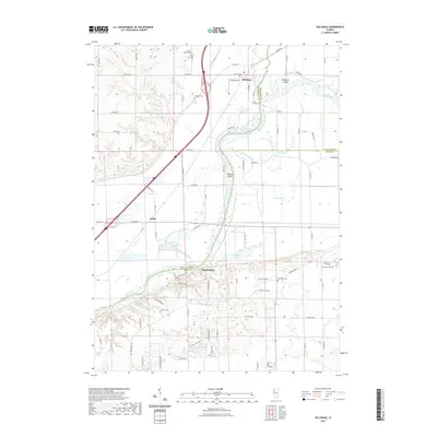
USGS Topo · Published 1982About this map
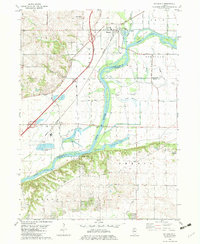
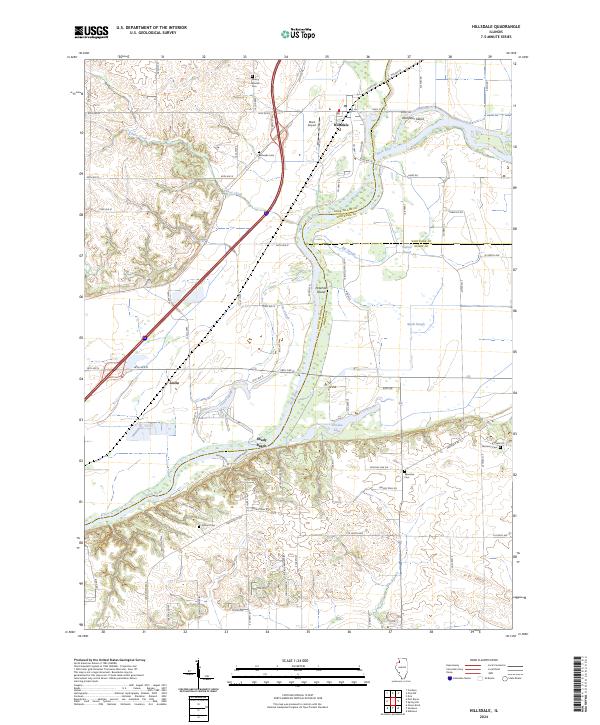
The Rock River dominates this early 1980s landscape, carving through the borderlands of Rock Island, Whiteside, and Henry Counties. The small village of Hillsdale sits north of the river, anchored by the Riverdale High Sch and a local Trailer Park. Downstream, the settlement of Joslin marks a point of industrial activity, evidenced by large Sewage Disposal Ponds and the nearby Burlington Northern railroad tracks that parallel the water.
Find a feature on this map
44 named features on this map. Tap any name to fly to it.
Don’t see what you’re looking for? This feature index may not catch every label — zoom into the map to look around manually.
Map Details
Date Portrayed1982
Date Published1982
PublisherU.S. Geological Survey
Map TypeTopographic
Scale1:24,000
Physical Dimensions21.9 x 26.7 inches
Editions of this 1982 Hillsdale Map
This is the sole edition of this map. No revisions or reprints were ever made.
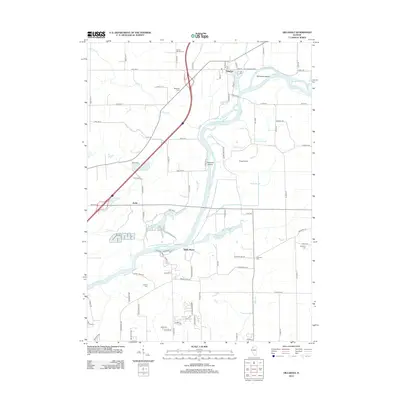
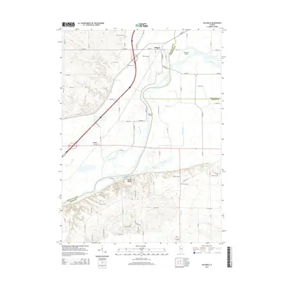
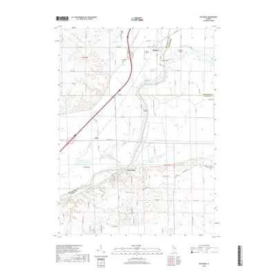
Historical Maps of Hillsdale Through Time
6 maps found
Featured Locations
Source Details
SourceU.S. Geological Survey
CopyrightPublic Domain