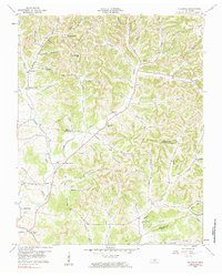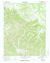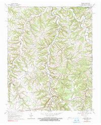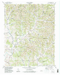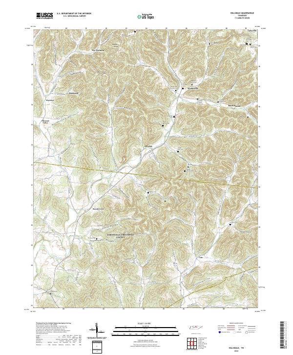
2022 Map of Hillsdale
USGS Topo · Published 2022About this map
The hills and hollows of the Macon and Trousdale county line define this area, where rural life is anchored by family settlements and long-standing cemeteries. Hillsdale and Meadorville serve as central points in a landscape carved by the Goose Creek drainage system and its many tributaries like Dry Fork and Taylor Br. The map reveals a dense network of named hollows, including Thompson Hollow, Woodmore Hollow, and Suggs Hollow, which reflect a historical pattern of family landholdings and small-scale agriculture typical of north-central Tennessee.
Find a feature on this map
135 named features on this map. Tap any name to fly to it.
Don’t see what you’re looking for? This feature index may not catch every label — zoom into the map to look around manually.
Map Details
Editions of this 2022 Hillsdale Map
This is the sole edition of this map. No revisions or reprints were ever made.
Historical Maps of Beech Hill Through Time
7 maps found