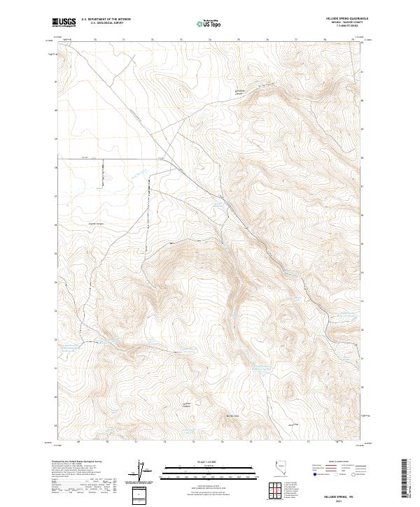
2021 Map of Hillside Spring
USGS Topo · Published 2021About this map
The Buffalo Hills dominate this portion of Washoe County, defining a landscape shaped by intermittent water sources and high-desert terrain. Strategic water management for ranching or local wildlife is evident in the numbering of various catchments, including Buffalo Hills Reservoir Number 6, Buffalo Hills Reservoir Number 7, and Buffalo Hills Reservoir Number 9. These features, alongside Disabel Reservoir, suggest a reliance on seasonal runoff within the arid basins.
Find a feature on this map
28 named features on this map. Tap any name to fly to it.
Don’t see what you’re looking for? This feature index may not catch every label — zoom into the map to look around manually.
Map Details
Editions of this 2021 Hillside Spring Map
This is the sole edition of this map. No revisions or reprints were ever made.
Other maps of this area

1886 · Granite Range
USGS Topo · 1:250,000

1889 · Long Valley
USGS Topo · 1:250,000

1894 · Granite Range
USGS Topo · 1:250,000

1954 · Vya
USGS Topo · 1:250,000

1955 · Lovelock
USGS Topo · 1:250,000

1958 · Vya
USGS Topo · 1:250,000

1959 · Lovelock
USGS Topo · 1:250,000

1962 · Vya
USGS Topo · 1:250,000
1980 · Fox Mountain
USGS Topo · 1:24,000
1980 · Lost Creek Pass
USGS Topo · 1:24,000