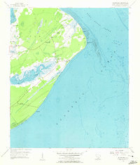
1956 Map of Hilton Head
USGS Topo · Published 1957About this map
Hilton Island appears here in the mid-1950s, revealing a landscape of maritime forests and salt marshes just as it stood before the onset of modern resort development. The island's geography is defined by the deep incisions of Broad Creek and Jarvis Creek, which create a complex network of wetlands that separate the interior from the Atlantic Ocean and Port Royal Sound. This period captures several significant cultural landmarks, including the First African Ch and Queen Chapel, alongside military remnants like the Fort Mitchell Site and Fort Walker Ruin.
Find a feature on this map
35 named features on this map. Tap any name to fly to it.
Don’t see what you’re looking for? This feature index may not catch every label — zoom into the map to look around manually.
Map Details
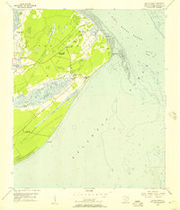
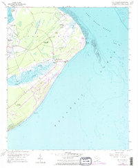
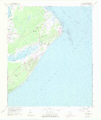
Editions of this 1956 Hilton Head Map
4 editions found
Other maps of this area

1920 · Okatie
USGS Topo · 1:62,500

1920 · Hilton Head
USGS Topo · 1:62,500

1920 · Bluffton
USGS Topo · 1:62,500

1942 · Okatie
USGS Topo · 1:62,500

1944 · Fort Fremont
USGS Topo · 1:62,500

1945 · Bluffton
USGS Topo · 1:62,500

1945 · Hilton Head
USGS Topo · 1:62,500

1947 · Savannah
USGS Topo · 1:250,000

1948 · Savannah
USGS Topo · 1:250,000
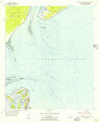
1955 · Savannah Beach North
USGS Topo · 1:24,000
Featured Places
- Hilton Head Island, SC
- Indigo Run, Hilton Head Island
- Hilton Head Plantation, Hilton Head Island
- Palmetto Dunes, Hilton Head Island
- Port Royal, Hilton Head Island