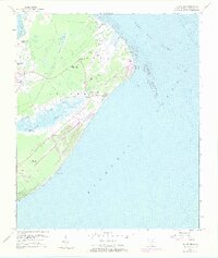
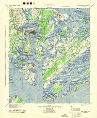
1956 Map of Hilton Head
USGS Topo · Published 1973About this map
Hilton Head Island appears here in a state of transition, documented through 1956 topography with revisions from 1971. Long before its modern development as a resort destination, the island was defined by its African American Gullah community and historical military footprint. The map records a significant network of spiritual and social hubs, including First African Ch, Mt Calvary Ch, and Queen Chapel. Historical memory is etched into the landscape at the Fort Mitchell Site and the Fort Walker Ruin, marking the island's strategic importance during the Civil War. Coastal navigation is anchored by the Hilton Head Rear Range and Lighthouse Landing, while early infrastructure like the Landing Strip and emerging golf courses signal the beginning of the island's mid-century transformation. From Skull Creek to Broad Creek, the map captures a rural sea-island character that has since been largely reshaped.
Find a feature on this map
41 named features on this map. Tap any name to fly to it.
Don’t see what you’re looking for? This feature index may not catch every label — zoom into the map to look around manually.
Map Details
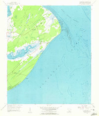
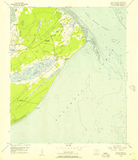
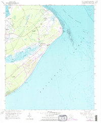
Editions of this 1956 Hilton Head Map
4 editions found
Other maps of this area

1920 · Okatie
USGS Topo · 1:62,500

1920 · Hilton Head
USGS Topo · 1:62,500

1920 · Bluffton
USGS Topo · 1:62,500

1942 · Okatie
USGS Topo · 1:62,500
1944 · Fort Fremont
USGS Topo · 1:62,500

1945 · Bluffton
USGS Topo · 1:62,500

1945 · Hilton Head
USGS Topo · 1:62,500

1947 · Savannah
USGS Topo · 1:250,000

1948 · Savannah
USGS Topo · 1:250,000
1955 · Savannah Beach North
USGS Topo · 1:24,000
Featured Places
- Hilton Head Island, SC
- Hilton Head Plantation, Hilton Head Island
- Port Royal, Hilton Head Island
- Palmetto Dunes, Hilton Head Island
- Indigo Run, Hilton Head Island