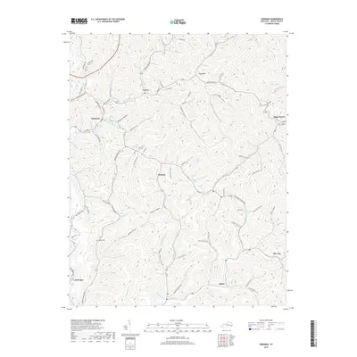
2019 Map of Hindman
USGS Topo · Published 2019About this map
Hindman sits at the confluence of several mountain waterways, including the Left Fork Troublesome Cr and Right Fork Troublesome Cr, serving as a central hub for the surrounding hollows of Knott County. This modern survey reflects the intricate road network that traces the narrow valley floors, connecting communities like Pippa Passes and Leburn through passes such as Tadpole Hollow. The landscape is characterized by its dendritic drainage pattern, where numerous branches like Onion Blade Br and Alum Cave Br feed into the primary creek systems.
Find a feature on this map
103 named features on this map. Tap any name to fly to it.
Don’t see what you’re looking for? This feature index may not catch every label — zoom into the map to look around manually.
Map Details
Editions of this 2019 Hindman Map
This is the sole edition of this map. No revisions or reprints were ever made.
Other maps of this area

1890 · Whitesburg
USGS Topo · 1:125,000

1891 · Hazard
USGS Topo · 1:125,000

1892 · Whitesburg
USGS Topo · 1:125,000

1912 · Hindman
USGS Topo · 1:48,000

1913 · Oven Fork
USGS Topo · 1:48,000

1914 · Troublesome
USGS Topo · 1:62,500

1915 · Hindman
USGS Topo · 1:62,500

1915 · Whitesburg
USGS Topo · 1:62,500

1916 · Cornettsville
USGS Topo · 1:62,500
1954 · Hindman
USGS Topo · 1:24,000